Volume 17, Number 8—August 2011
Research
Early Warning System for West Nile Virus Risk Areas, California, USA
Ryan M. Carney1 , Sean C. Ahearn, Alan McConchie2, Carol A. Glaser, Cynthia Jean, Chris Barker, Bborie Park, Kerry Padgett, Erin Parker, Ervic Aquino, and Vicki L. Kramer
Figure 1
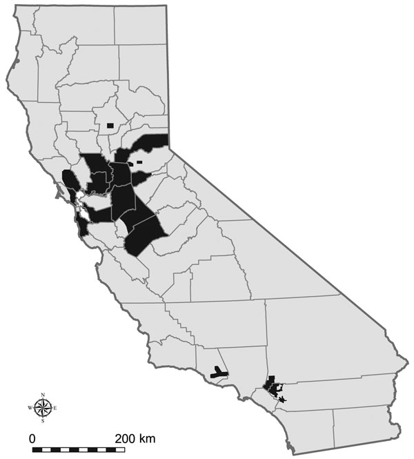
Figure 1. California counties with 2005 Dynamic Continuous-Area Space-Time (DYCAST) analysis regions (32,517 km2), shown in black. Data were mapped by using ArcMap version 9.3.1 (Environmental Systems Research Institute, Inc., Redlands, CA, USA) and North American Datum of 1983, High Accuracy Reference Network (NAD83 HARN) California II State Plane coordinate system (Lambert Conformal Conic Projection).
1Current affiliation: Brown University, Providence, Rhode Island, USA.
2Current affiliation: University of British Columbia, Vancouver, British Columbia, Canada.
Page created: August 15, 2011
Page updated: August 15, 2011
Page reviewed: August 15, 2011
The conclusions, findings, and opinions expressed by authors contributing to this journal do not necessarily reflect the official position of the U.S. Department of Health and Human Services, the Public Health Service, the Centers for Disease Control and Prevention, or the authors' affiliated institutions. Use of trade names is for identification only and does not imply endorsement by any of the groups named above.