Volume 26, Number 3—March 2020
Research
Long-Term Rodent Surveillance after Outbreak of Hantavirus Infection, Yosemite National Park, California, USA, 2012
Mary E. Danforth , Sharon Messenger, Danielle Buttke, Matthew Weinburke, George Carroll, Gregory Hacker, Michael Niemela, Elizabeth S. Andrews, Bryan T. Jackson, Vicki Kramer, and Mark Novak
Figure 1
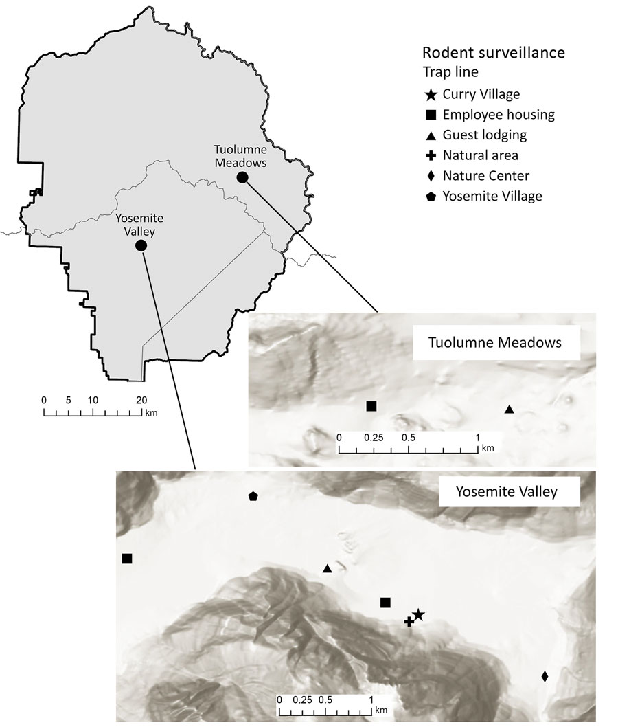
Figure 1. Yosemite National Park, California, USA, and trapping sites, with hillside shading, in Yosemite Valley and Tuolumne Meadows. Sources of mapping data were Esri (https://www.esri.com), Airbus Defence and Space, US Geological Survey, National Geospatial-Intelligence Agency, National Aeronautics and Space Administration, Consultative Group on International Agricultural Research, N. Robinson, National Center for Ecological Analysis and Synthesis, National Library Service, Ordnance Survey, National Mapping Association, Geodatastryelsen, Rijkswaterstaat, General Services Administration, Geoland, Federal Emergency Management Agency, Intermap, and the Geographic Information System user community.
Page created: February 20, 2020
Page updated: February 20, 2020
Page reviewed: February 20, 2020
The conclusions, findings, and opinions expressed by authors contributing to this journal do not necessarily reflect the official position of the U.S. Department of Health and Human Services, the Public Health Service, the Centers for Disease Control and Prevention, or the authors' affiliated institutions. Use of trade names is for identification only and does not imply endorsement by any of the groups named above.